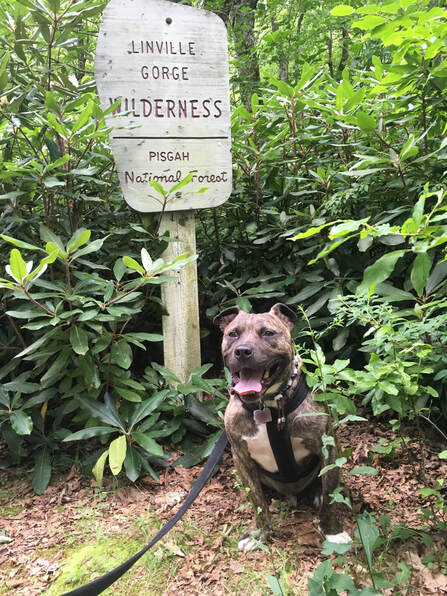
The Chimneys and Rock Table are at opposite ends of the same trailhead starting point in a picnic and camping area, and with our limited time here, I decided a two for one deal was needed. Only an hour and a half away in the Linville Gorge Wilderness, I planned for us to start hiking by 10am to avoid the excessive mid-day heat. That meant leaving at 8am—a stretch for us, but we could manage.
It wasn’t our leave time that took us on an extended drive—it as Apple maps. Thanks, Apple.
As we neared the trailhead, only three miles away according to Apple maps, we reached a fork in the dirt road. One way led to “PRIVATE PROPERTY - DEAD END” and the other to “NO ACCESS TO TABLE ROCK. PRIVATE DRIVE.” Well… that’s no good.
Apple didn’t give me another option, and looking at the map, it seemed I’d have to drive a couple hours around the base of the mountain to get to the top from the north. This couldn’t be right. So I headed back down the road to the few businesses along the roadside. I was going to ask the convenience store employee, but when I spotted three firefighters hanging outside their station right next to the store, I opted to ask their advice. If you want to know where something is in town, I suspect cabbies, police, and firefighters are your top three choices for obtaining accurate directions and the quickest route.
My hypothesis was correct. They knew exactly what I was talking about and told me that Apple’s route had taken me to the road that had been closed off seven years prior. They then proceeded to give me exact directions including mileage and landmarks. I needn’t drive around the mountain, but just further down the road—however the way up was rather long.
“It’s like thirteen miles up the mountain,” one of them said.
“Well I’m already here, might as well make a go of it.”
He was right: 13.1 miles. Firefighters certainly know their fire roads.
The long winding road up the mountain was well worth it. I couldn’t imagine people making weekly trips up this way just for a picnic. I only passed one person going downhill while we were going up—which was good because the road was narrow and its edge was a mere unprotected cliff.
Of course all this meant that rather than arriving by 10am, my trusty steed took her much needed break at high noon. Even though it was two miles out and back to the Chimneys and two miles out and back to Table Rock, in case we didn’t fare well in the heat and couldn’t manage both trails, I opted to go to the Chimneys first.
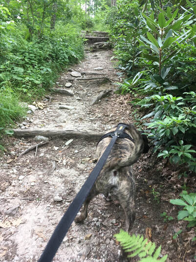
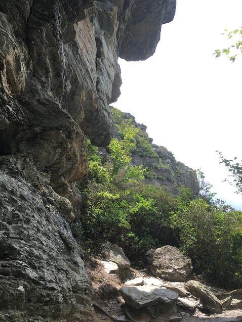
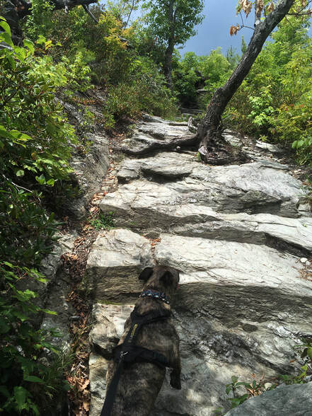
The rocky trail covered in tree roots make me feel at home. It was shaded when we began, so we trucked along at a decent pace despite the heat.
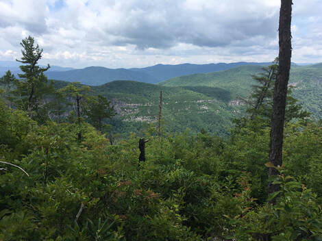
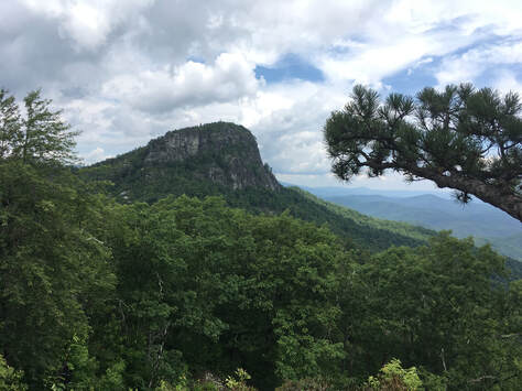
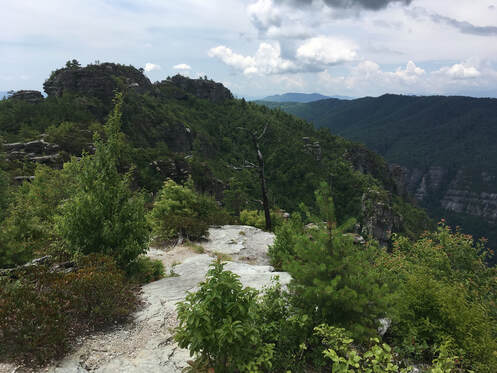
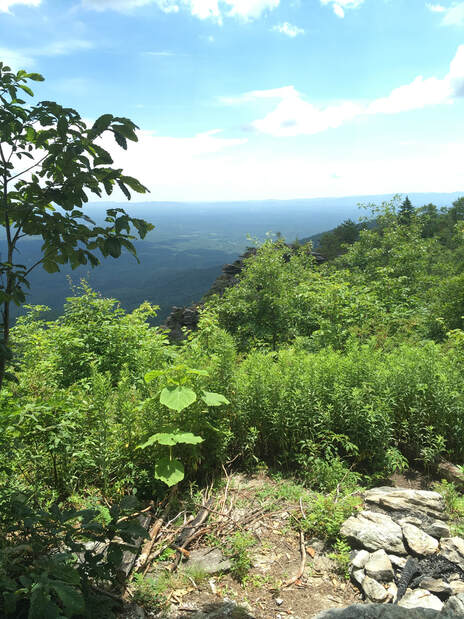
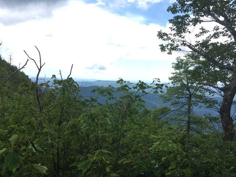
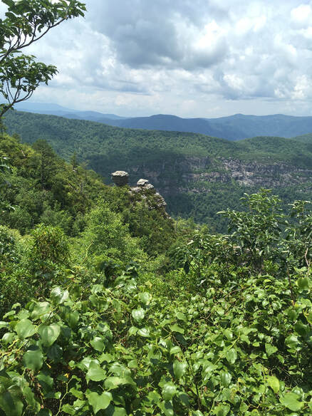
A thru-hiker who was heading toward the trailhead from the Chimney Stacks stopped for a moment. He said according to his books (or app… I don’t now), this was Kodachrome Overlook. I thought it was fitting, and a wonderful place to be reminded of Paul Simon music.
About half an hour later, I understood his perspective.
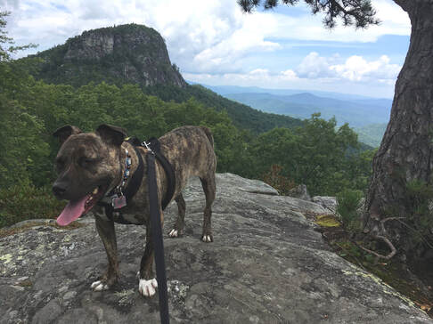
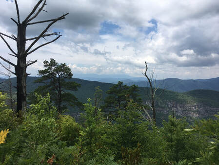
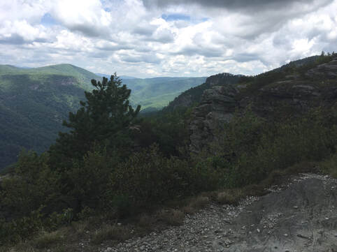
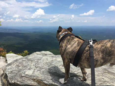
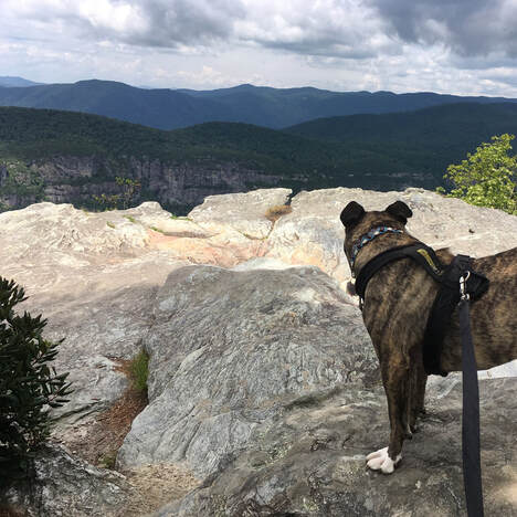
He headed back the way he came, and Tucker and I followed shortly thereafter, making sure Tucker had an adequate break in the shade. We were both slow moving, not just because of the heat, but because the views were meant to be drunk slowly, to be savored, to be etched into your heart forever.
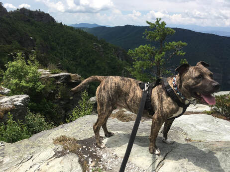
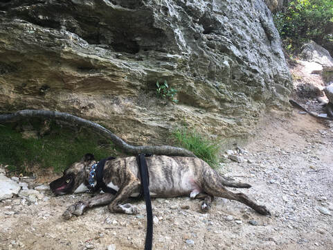
I always worry about Tucker suffering from heat exhaustion. He doesn’t take the heat well, and he’ll just keep going until he finally can’t. His panting seemed harsh, so it seemed best we take a break.
I found a little camping area tucked away in a shady spot and climbed up onto the natural platform. The rock acted like a cooler and Tucker lay down, absorbing it from the rock wall and hard earth.
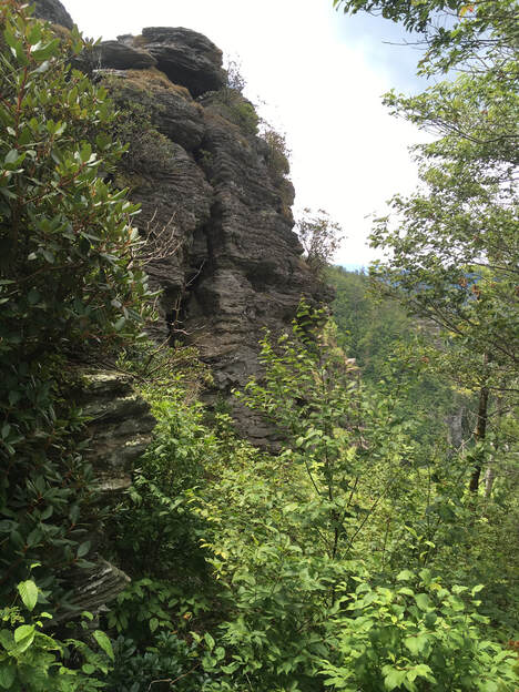
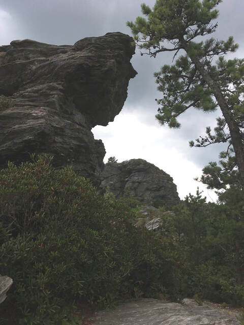
On the way back, I marveled at the trail, an obstacle course for Tucker to navigate, up rocks and boulders and around trees.
 RSS Feed