Both of these adventure options involved getting up early Friday morning.
So neither of them happened.
I had some business to attend to that I wanted to get done before the droves of tourists arrived in town, so I did some practical shopping and opted to give Hyde Memorial Park a try for a hike. I had driven through on our way to another hike a couple weeks ago, and it was just a twenty minute drive away. Both Taos and San Antonio Springs would involve almost two hours in the car each way.
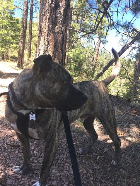
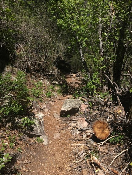
The only issue with the Hyde Park trail was the elevation. AllTrails described it as a 2.8 “moderate” hike. The Hyde Park visitor center rated it as “hard” because although it was super short, the elevation gain was 1125 feet… in about 1.3 miles. Tucker and I had done Chimney Rock in North Carolina, which is 499 stairs, but is only about a 500 foot elevation gain. This would definitely be a challenge.
People in my office had ben suggesting hikes for me, all of which were either over 10 miles or over 1100 feet in elevation change. I told them I’m not all that physically fit and although I probably could walk 12 miles on flat ground without stopping with no problem, the elevation gain kills me. I’m just not in shape for that—and the hikes are already located about 8000 feet above what I’m used to living in Southern California.
But I decided to try anyway.
And once I try, I can’t fail. I won’t let myself. That’s not to say it is without its difficulties. But I refuse to give up once I start something.
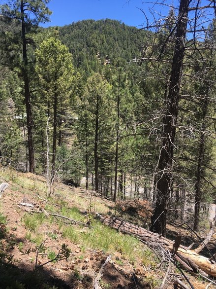
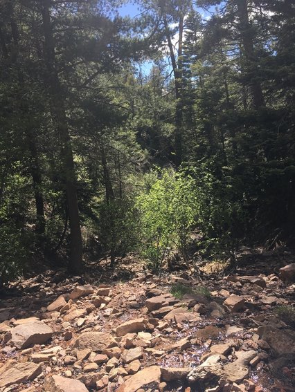
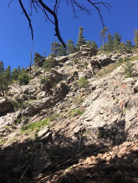
Within five minutes we were already well above the road that had brought us there.
I tried to keep her advice in mind, even though the Griffith Park walk is only about 300 foot elevation change over a mile. This was four times that.
But in this case, I abandoned my rule.
I abandoned my rule five times as a matter of fact.
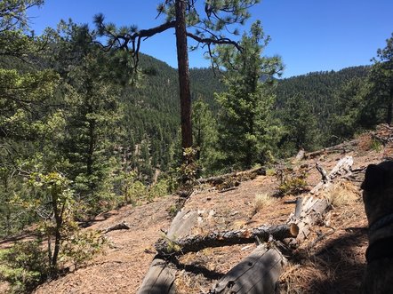
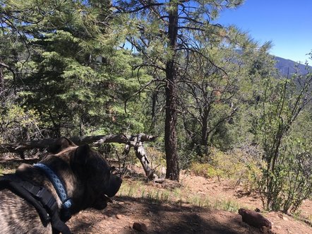
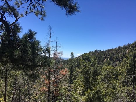
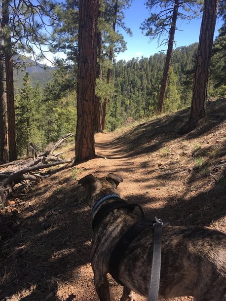
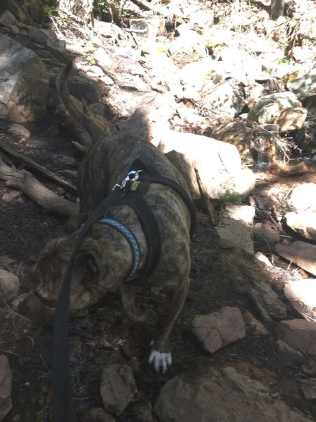
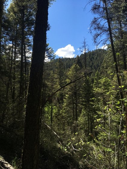
Feeling light-headed, and getting the sense that my legs might start to refuse my requests, the only thing I could do was sit down on the trail. The upside was that it gave me a chance to check out the view.
And slightly annoyed that two of the times I sat down, when I got up, I discovered that we were around the bend from an actual bench placed there for unfit hikers such as myself.
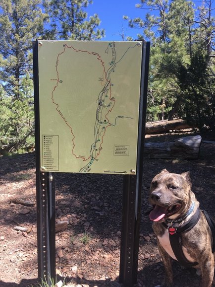
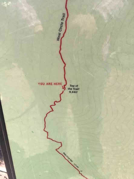
I’ve only recently started using AllTrails, and in some ways, it’s not useful. Now I get to check in on how far along I am and how much farther I have to go. Before, I just set my feet on the trail and went until I could go no longer. There was no status updates. Knowing how far you have to go adds a different level to the hiking experience: like major disappointment when you’re not as far up the red line a you thought you were.
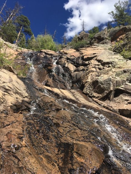
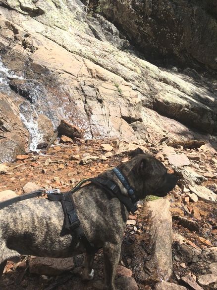
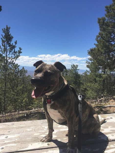
We did eventually get there:
I got off trail a little as the AllTrails didn’t follow the East Circle trail, but took the easy Piggyback trail for a spell. I agreed as my legs were feeling a little rubbery and I was feeling a little cranky. Nature shouldn’t make me cranky. Nature is the de-cranker of my life.
 RSS Feed